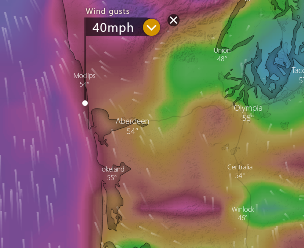
A high wind warning is still in effect Monday through Tuesday at 4AM.
Difference between High Wind Watch and Warning
High Wind Watch
A High Wind Watch is issued when the following conditions are possible:
1) sustained winds of 40 mph or higher for one hour or more
OR
2) wind gusts of 58 mph or higher for any duration.
High Wind Warning
A High Wind Warning is issued when the following conditions are expected:
1) sustained winds of 40 mph or higher for one hour or more
OR
2) wind gusts of 58 mph or higher for any duration.
Weather Statement
URGENT - WEATHER MESSAGE
National Weather Service Seattle WA 1009 PM PST
Sun Nov 25 2018 WAZ516-517-261415- /O.EXT.KSEW.HW.W.0005.181126T1800Z-181127T1200Z/
North Coast-Central Coast- 1009 PM PST Sun Nov 25 2018
...HIGH WIND WARNING NOW IN EFFECT FOR THE NORTH AND CENTRAL COAST FROM 10 AM MONDAY TO 4 AM PST TUESDAY...
* WIND...Increasing from the southeast to 20 to 35 mph with gusts to near 55 mph on Monday.
* SOME AFFECTED LOCATIONS...Westport, Hoquiam, and Quillayute. * TIMING...Winds will be the strongest from Monday afternoon through late Monday night.
* IMPACTS...This will be the first significant windstorm this season; therefore, damage such as snapped tree branches and downed trees will be more widespread. Expect power outages.


