


Heavy rain along with rising snow levels Monday into Tuesday will lead to rapidly rising rivers across the area. It is likely that many rivers will reach flood stage late Monday night or Tuesday. Rainfall today could push the Skokomish River to flood stage tonight.
Advertisement

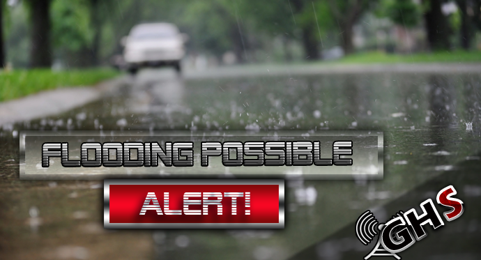
FLOOD WATCH REMAINS IN EFFECT THROUGH LATE WEDNESDAY NIGHT
Flooding caused by excessive rainfall continues to be possible.
This includes Portions of northwest and west central Washington, including the following counties, in northwest Washington, Clallam, Grays Harbor, Island, Jefferson, Kitsap, Mason, San Juan, Skagit and Whatcom. In west central Washington, King, Lewis, Pierce, Snohomish and Thurston.
Excessive runoff may result in flooding of rivers, creeks, streams, and other low-lying and flood-prone locations. Flooding may occur in poor drainage and urban areas. Low-water crossings may be flooded. Extensive street flooding and flooding of creeks and rivers are possible.
Excessive rainfall Monday and Tuesday with 8 to 11 inches possible over the Olympics, 6 to 9 inches over the Cascades, 4 to 6 inches along the coast and 2 to 4 inches over the interior lowlands. Snow levels will rise to around 9000 feet Monday night before dropping Tuesday.
Advertisement