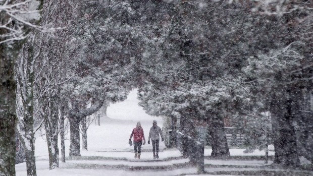
Potential for Lowland Snow in Western Washington Friday, then
again later this Holiday Weekend...
A couple of systems will move across Western Washington over the
next several days. One will move southeast across the region late
tonight and Friday. Another will affect the region Sunday or
Christmas Day. The air mass is expected to remain cool, so there
is the potential that either of these systems could bring some
snow to the lowlands.
The first system later tonight and Friday is expected to be weak.
Snow levels are most likely to be below 500 feet from about Port
Angeles to Everett and Enumclaw northward. Areas to the south of
that line are likely to see snow levels at 1000 to 1500 feet.
Snowfall, if it occurs, is expected to be light with amounts
generally less than an inch.
A more significant system is expected to move into the area later
Christmas Eve or on Christmas Day. The most likely locations of
accumulating snow is on the North Coast and across the Olympic
Peninsula to points north of Seattle. If the system moves a bit
to the south, snowfall could extend into the south interior of
Western Washington. If it is a bit to the north, the entire area
could see just a cold rain.
Who isn't dreaming of a white Christmas? It certainly is a rare sight around here, and the National Weather Service is saying that it is possible.


