
Washington and Pacific Northwest weekend weather outlook
Friday–Sunday, November 13–15, 2026
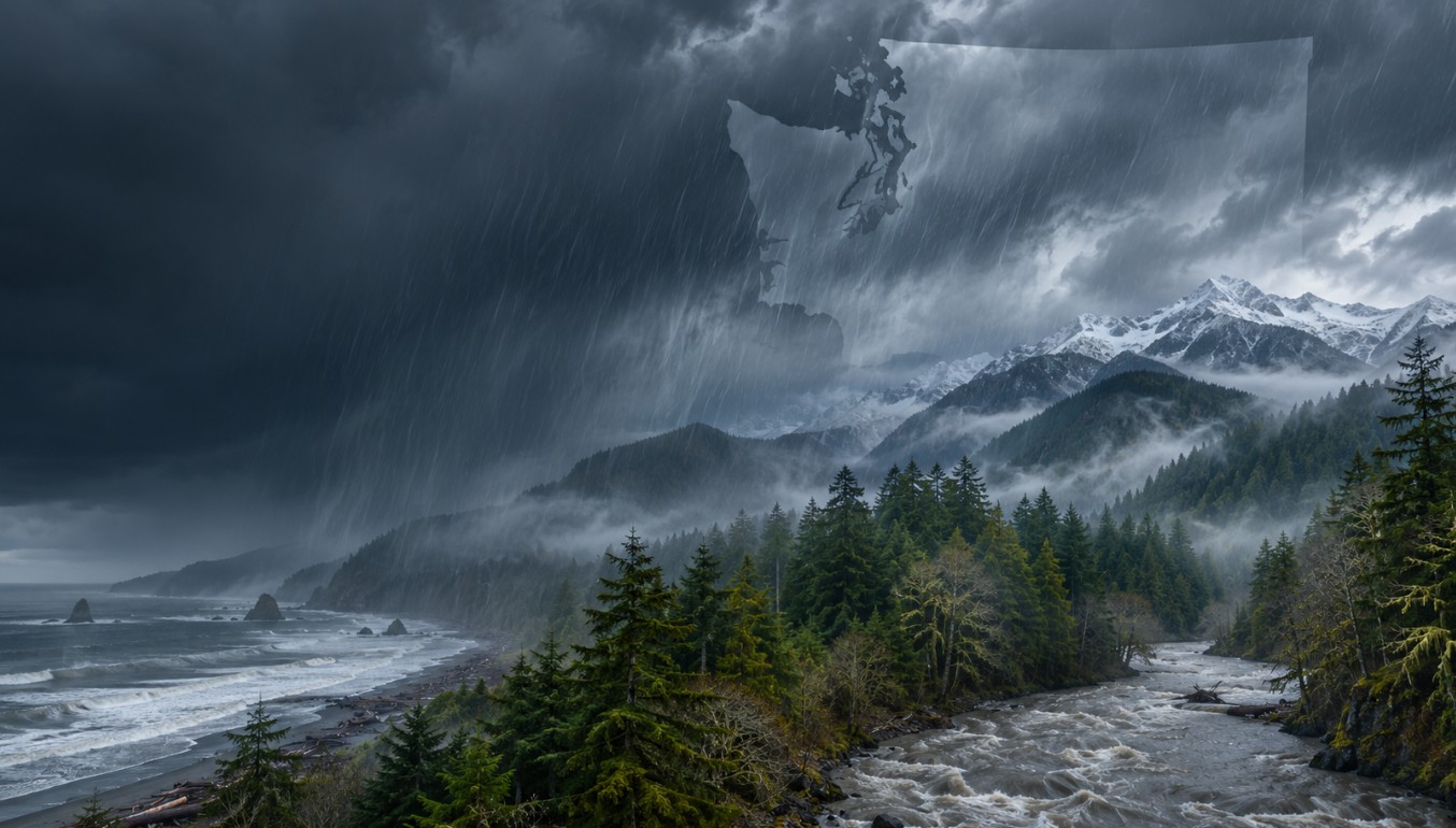
The latest National Weather Service forecasts point to a wet, unsettled weekend across much of western Washington and northwest Oregon. A series of Pacific frontal systems will bring periods of rain and breezy winds. A second pulse of moisture is expected Saturday night into early Sunday, with the greatest rainfall and river concerns focused on the Olympic Peninsula. Eastern Washington should see lighter precipitation overall, with rain and mountain snow arriving in rounds. National Weather Service
What to expect
- Friday: Rain spreads inland across western Washington after reaching the coast. The Seattle forecast discussion gives most areas about 0.1 to 0.25 inches from the first system. Along the Washington coast, high surf and high-tide coastal flooding are also concerns. National Weather Service
- Saturday: Another strong Pacific system brings more rain, gusty winds and high-elevation snow. The NWS forecast calls for about 1–3 inches along the coast and 0.5–1 inch in interior western Washington over the weekend. The Olympic Peninsula could receive additional locally higher amounts. forecast.weather.gov
- Sunday: Showers continue in western Washington, while another round of rain moves into eastern Washington. Snow is expected in the Cascades at higher elevations; the Spokane forecast calls for light to moderate rain and mountain snow Sunday into Monday.
Advertisement

Atmospheric river and river concerns
Forecasters describe the incoming pattern as multiple rounds of moisture, including another atmospheric-river pulse reaching the Olympic Peninsula Saturday night. The Weather Prediction Center identifies a marginal risk of excessive rainfall over the Olympic Peninsula, where an additional 1–3 inches, locally higher, could fall into early Sunday. That level indicates isolated flooding is possible, especially where rainfall overlaps with already elevated streams and rivers. forecast.weather.gov
The Skokomish River near Potlatch is the main river concern in the current NWS outlook. A Flood Watch covers Mason County through late Saturday night, with 3–4.5 inches forecast on the south slopes of the Olympics from early Friday into early Sunday. Forecasters say the combination of heavy rain and high snow levels could push the river above flood stage again. NWS Seattle said flooding was not expected on other rivers in its area during the same seven-day outlook. weather.gov
Coastal impacts
For Grays Harbor County’s coast, the NWS has a Coastal Flood Advisory from 11 a.m. to 5 p.m. Friday, with possible inundation of 1.75–2.25 feet above ground level in low-lying areas. A High Surf Advisory runs from noon Friday to 7 a.m. Saturday. The NWS warns that large breaking waves, driftwood and debris may create dangerous conditions on beaches and jetties. weather.gov
Across the South Washington Coast, NWS Portland also highlights breakers reaching 30–35 feet and a Friday coastal-flood advisory. The broader coast will remain hazardous as another system approaches Sunday.
Advertisement